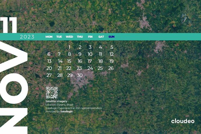
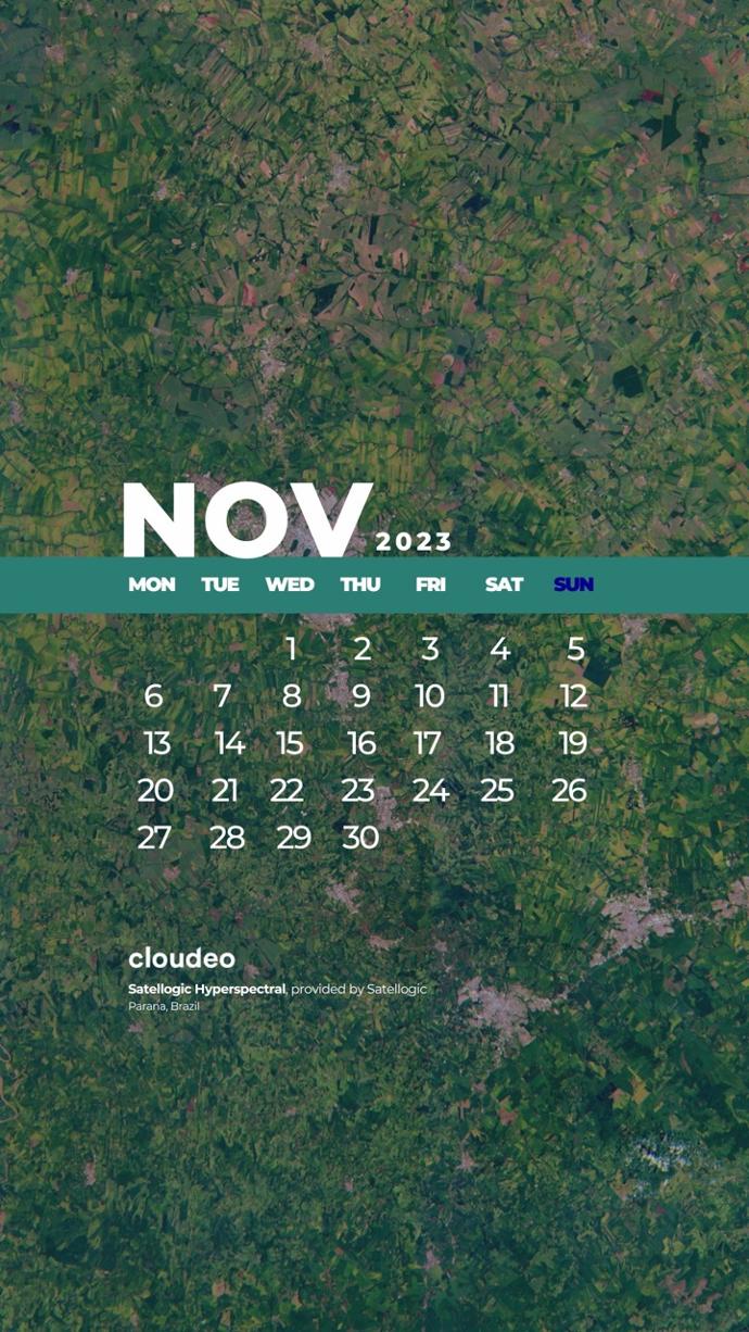
Satellogic Hyperspectral
από την Satellogic
Satellogic's aim is to frequently collect affordable high-resolution imagery for decision-making in various industrial, environmental, and government applications. Their hyperspectral cameras collect 25-meter imagery data at an altitude of around 475 km. Its 29 visible to near-infrared (460 - 830nm) spectral bands are delivered ortho-rectified and GIS-ready.
Hyperspectral imagery is vital across various sectors, such as Agriculture, Energy, and Forestry. In Agriculture, it is used to assist in the prediction of crop health and helps analyze soil quality, whereas in Forestry, analysts by using hyperspectral imagery can monitor ecosystem changes, and detect early threats. For the Energy sector, it is used in rooftop material determination, while it can offer insights into rock composition, and mineralogical variations in reservoirs.
Δωρεάν λήψεις
Landscape
Ιδανικό ως φόντο για την οθόνη της επιφάνειας εργασίας ή του φορητού σας υπολογιστή! Κατεβάστε δωρεάν τη σελίδα ημερολογίου σε αναλογία 16:9.
Το θέλω!Portrait
Για όσους είναι υπέρ των τυπωμένων ημερολογίων, ορίστε μια σελίδα για εσάς! Σχεδιασμένο για σελίδα μεγέθους Α4, μπορείτε να το κατεβάσετε δωρεάν, να το εκτυπώσετε σε χαρτί Α4 (ή μικρότερο) και να το αφήσετε να γίνει σύμβουλος για το τι-ημέρα-είναι στο γραφείο σας.
Mobile
Πάντα εν κινήσει; Τότε έχουμε μια επιλογή και για εσάς! Κατεβάστε δωρεάν την έκδοση για κινητά και έχετε το ημερολόγιο πάντα στην οθόνη σας.


