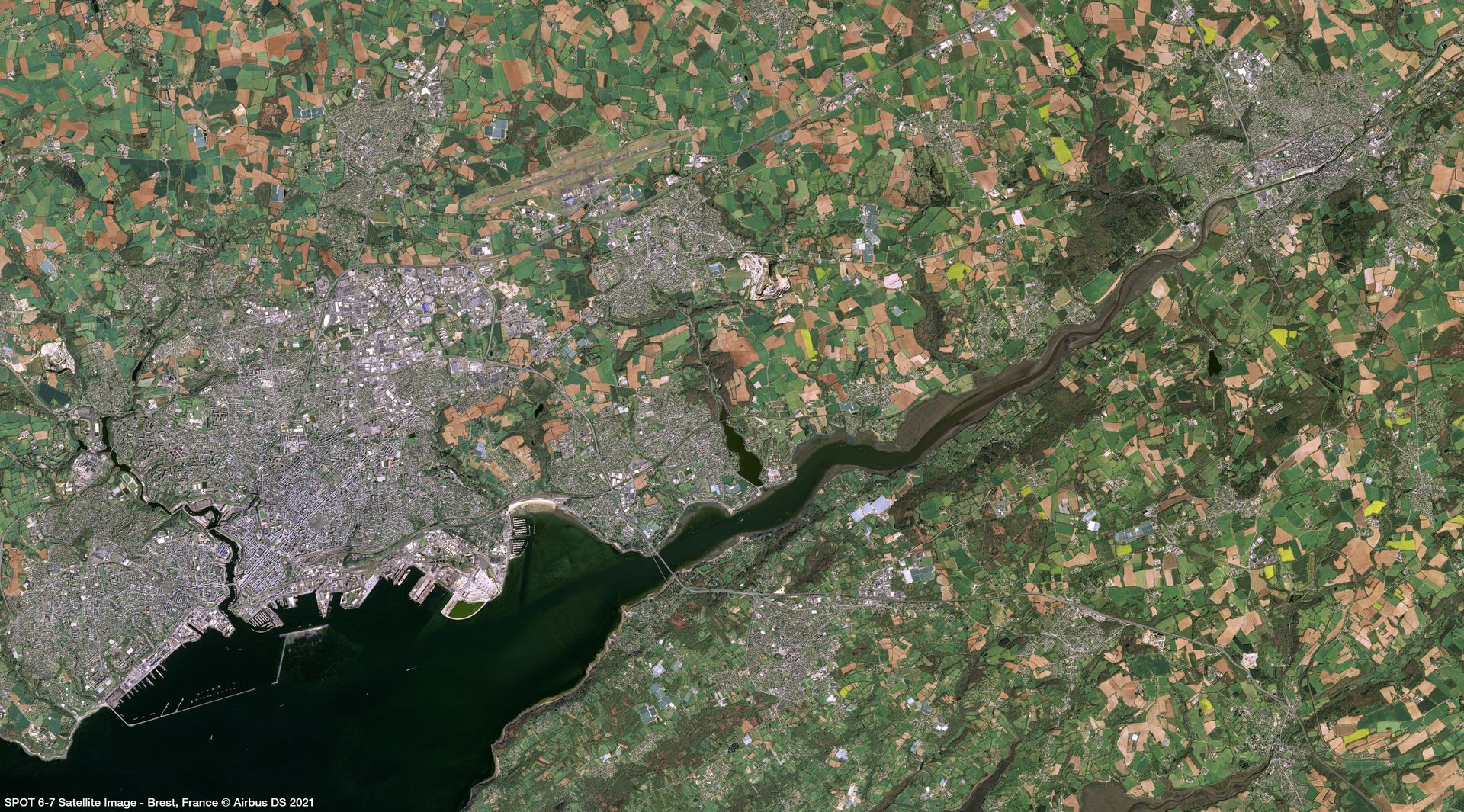
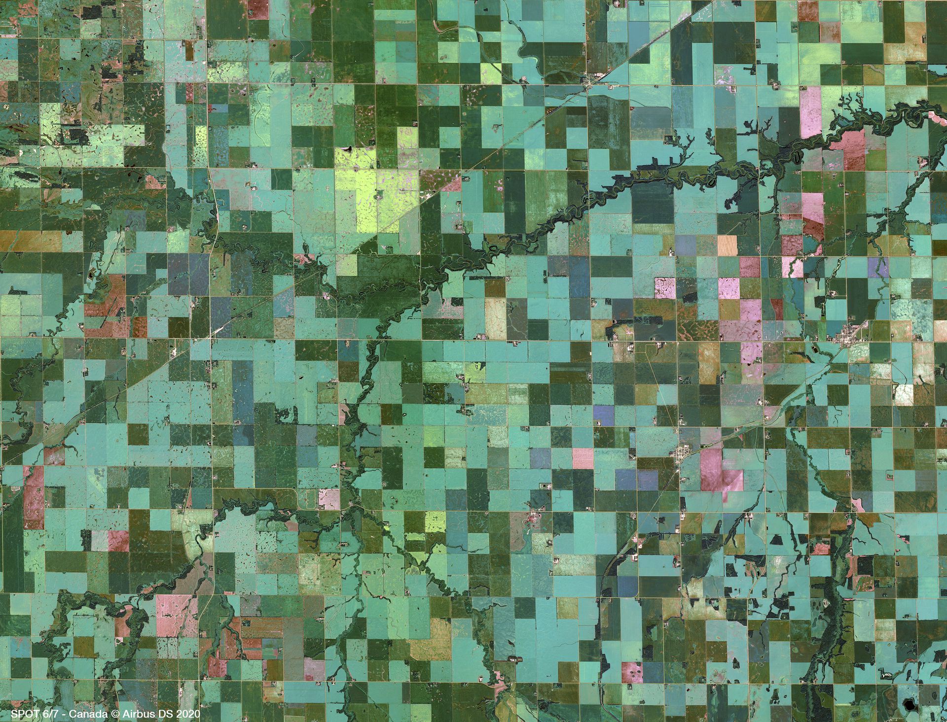
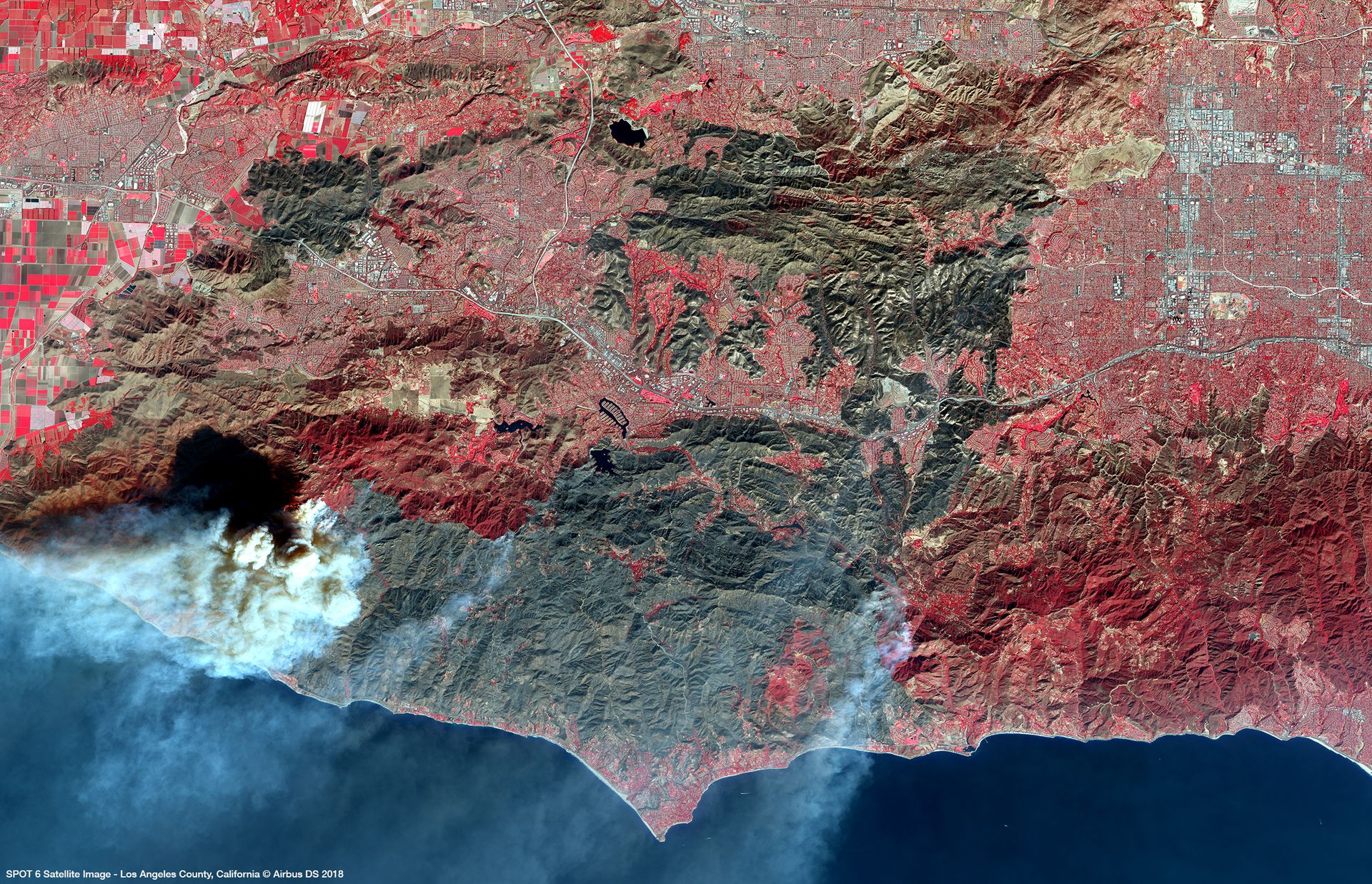
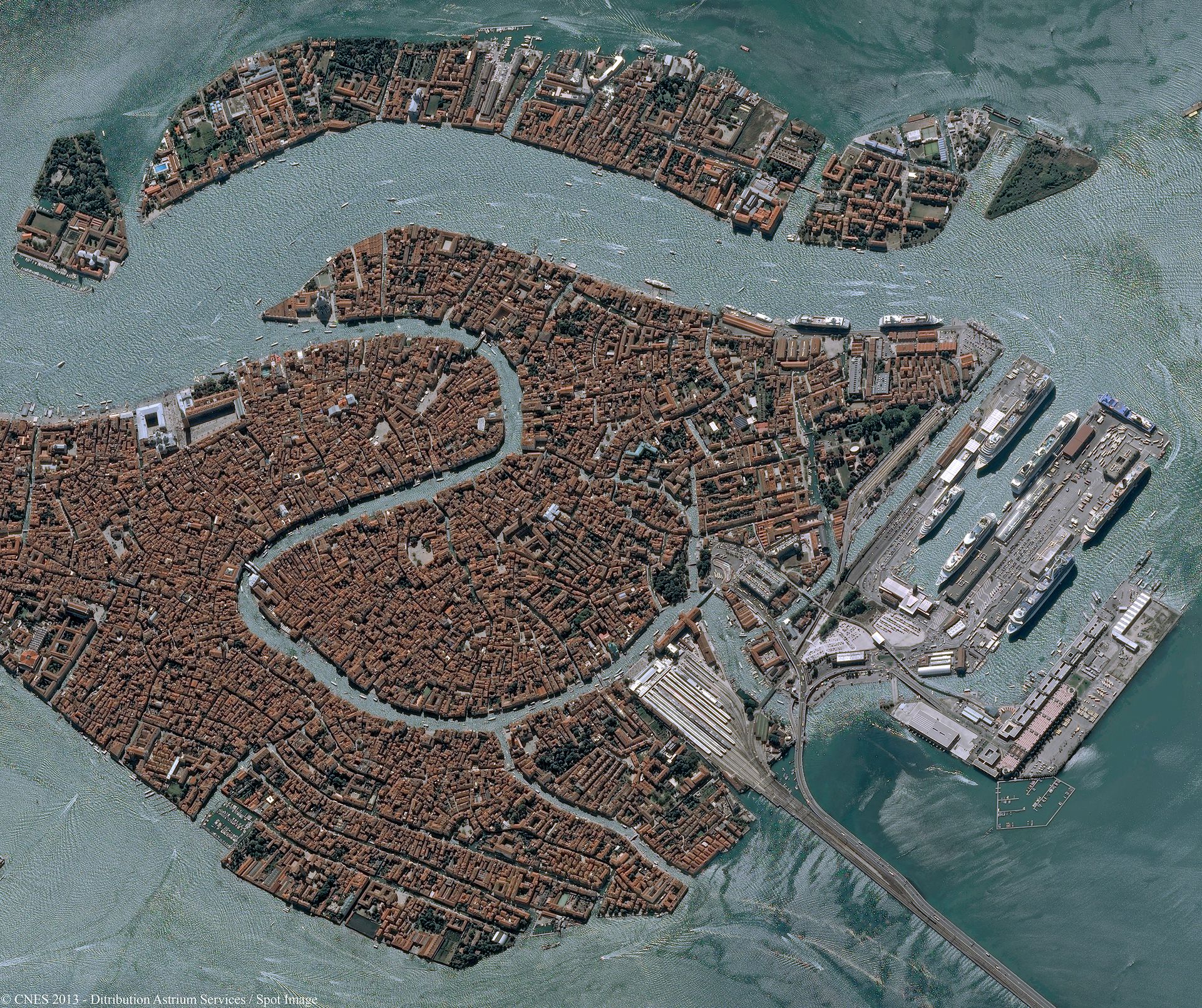
SPOT 6/7
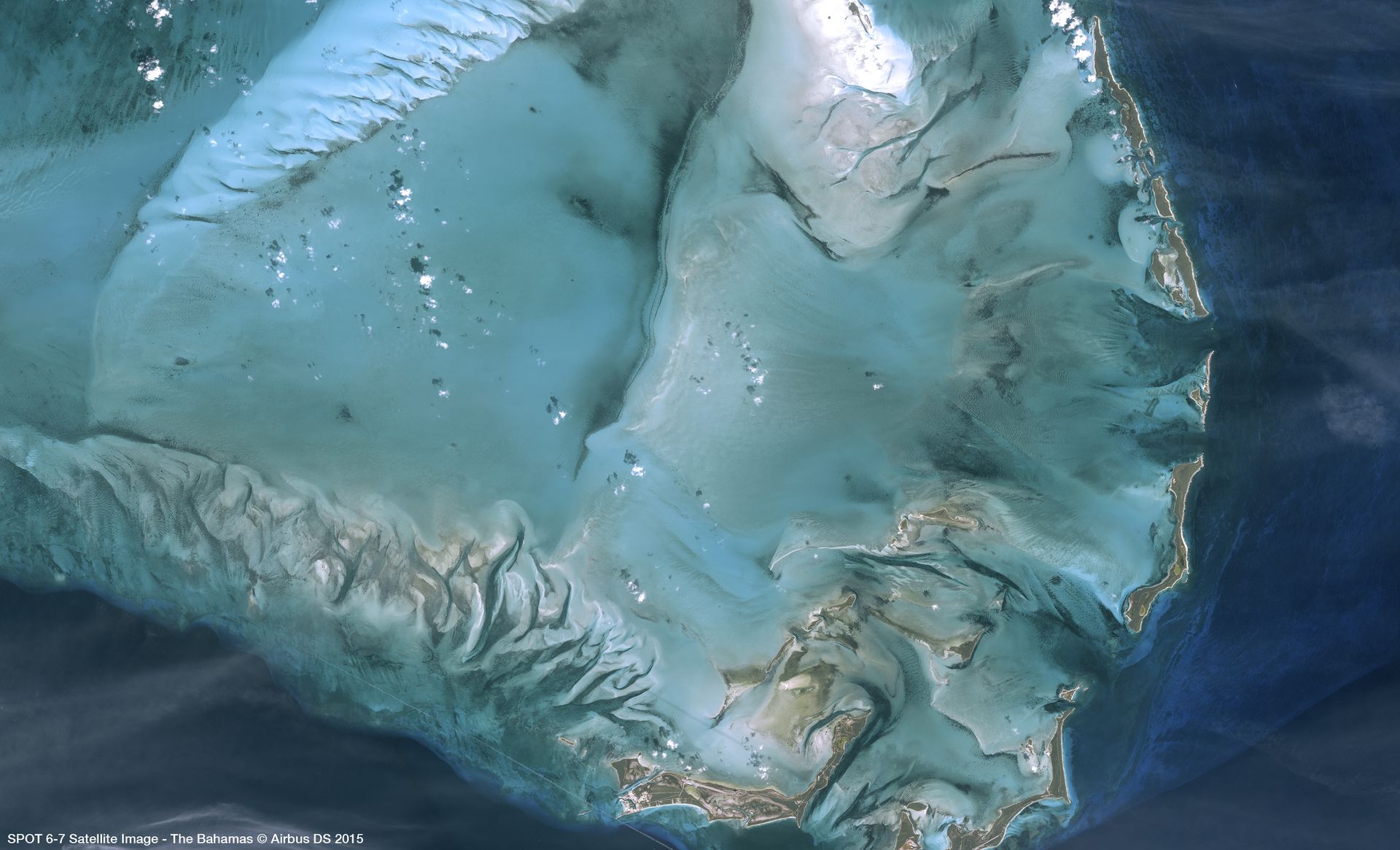
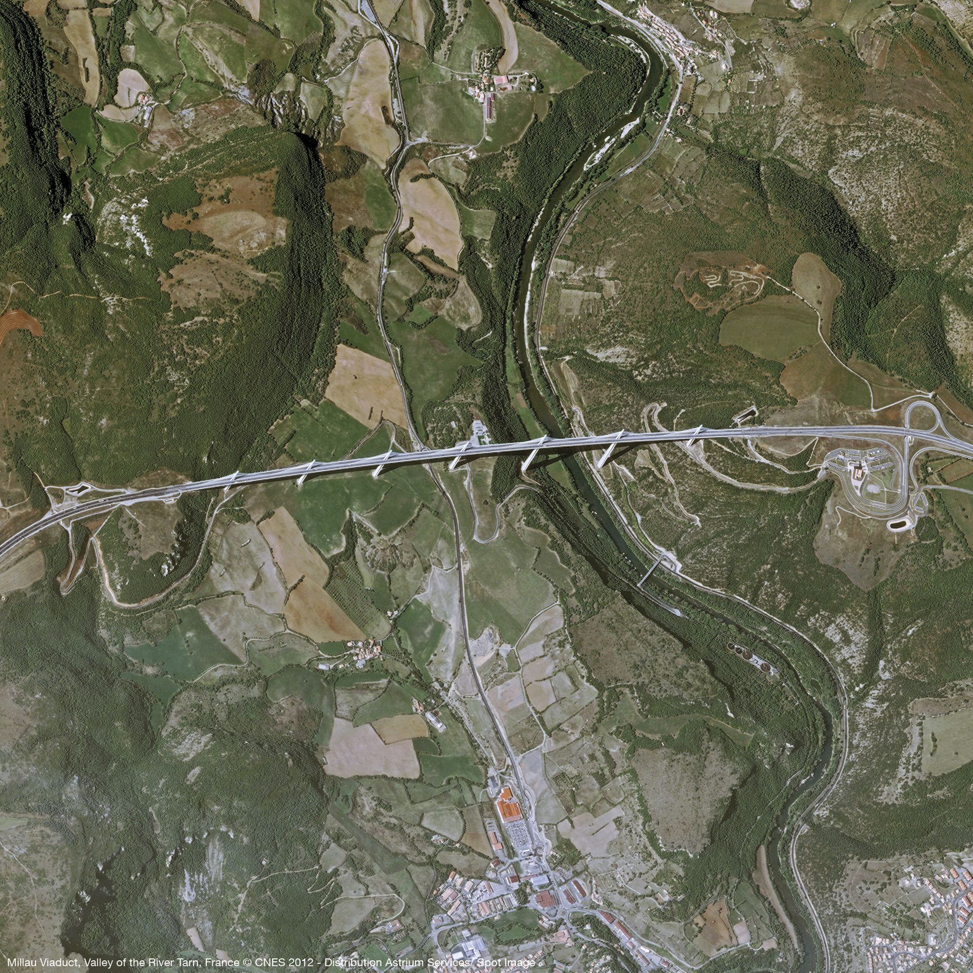
SPOT 6/7 benefit from a large swath, enabling a daily acquisition capacity of 6 million km². The satellites are specifically designed to efficiently provide large-area coverages, making them particularly suitable to serve cartographic and monitoring applications ideally for 1:15,000 topographic mapping. They also have stereo and tristereo capacity, with a daily revisit anywhere.
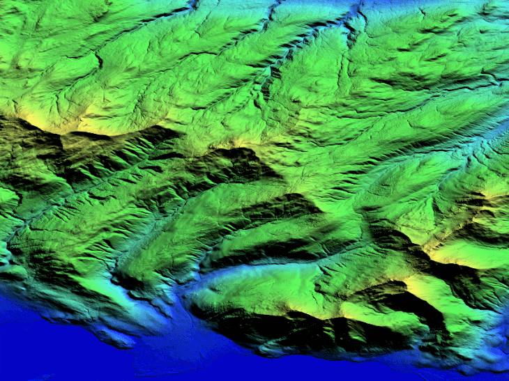
Some of the SPOT6/7 benefits include feature extraction, 2D & 3D stereo plotting, geometric accuracy down to 1.2m CE90, elevation and contour lines, huge coverage capacity strengthened by efficient management of weather forecasts, ultimate reactivity from new acquisition ordering to product delivery, and highly accurate, orthorectified imagery as a standard.
Launch | SPOT 6: September 9, 2012SPOT 7: June 30, 2014 |
Orbit | Sun-synchronous 10:00 AM descending node 26-day cycle 694-km altitude |
Spectral bands | Pan: 0.455-0.744 mm Blue: 0.454-0.519 mm Green: 0.527-0.587 mm Red: 0.624-0.694 mm Near-IR: 0.756-0.880 mm |
| Spatial resolution | Panchromatic @ 1.5 m; Multispectral @ 6.0 m |
| Radiometric resolution | 12 bits per pixel |
| Geometric precision | < 10 m CE90 |
| Revisit time | Daily |
And some technical specifications related to the ordering process:
Imagery type | ||||||||||||
| ||||||||||||
| Processing level | ||||||||||||
| ||||||||||||
| Band selection | ||||||||||||
|
Need a sample to test the product before ordering?
Gallery
Key features
Quick access to very high resolution imagery up to 1.5m
Geometric accuracy down to 1.2m
Regional or National coverage in record time
Optimal combination of resolution, coverage and accuracy
Image availability secured until 2024
Accurate orthoimagery guaranteed by Reference 3D database
Key applications

Agriculture
Optimize the number of plants per unit of area
Crop condition analysis and stress detection
Crop type classification and mapping
Optimize the number of plants per unit of area
Crop condition analysis and stress detection
Crop type classification and mapping

Forestry
Detecting deforestation and forest degradation
Burned and flooded forest mapping/monitoring
Assessing slope failure and soil erosion
Detecting deforestation and forest degradation
Burned and flooded forest mapping/monitoring
Assessing slope failure and soil erosion

Maritime
Mapping of fishing zones
Forecasting algal blooms
Supporting environmental regulations and Marine Protected Areas (MPAs)
Mapping of fishing zones
Forecasting algal blooms
Supporting environmental regulations and Marine Protected Areas (MPAs)
FAQs
In case more than one AOI is required, please contact us for a custom order tailored to your needs.
The EULA of SPOT 6/7 is under the authority of Airbus Space & Defence and can be found here.

